Re:Earth
------https://reearth.io------
Re:Earth
------https://reearth.io------
Re:Earth
------https://reearth.io------
Re:Earth
------https://reearth.io------
Re:Earth
------https://reearth.io------
Re:Earth
------https://reearth.io------
Re:Earth
------https://reearth.io------
Re:Earth
------https://reearth.io------
Re:Earth
------https://reearth.io------
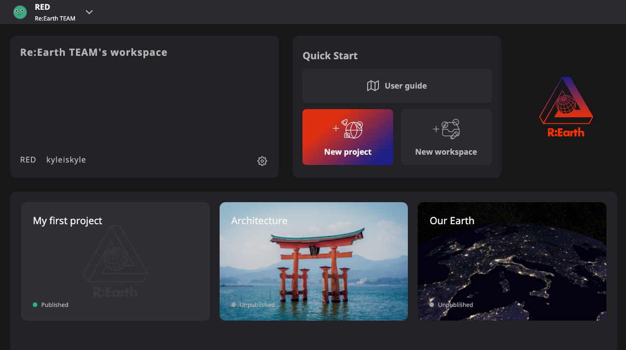
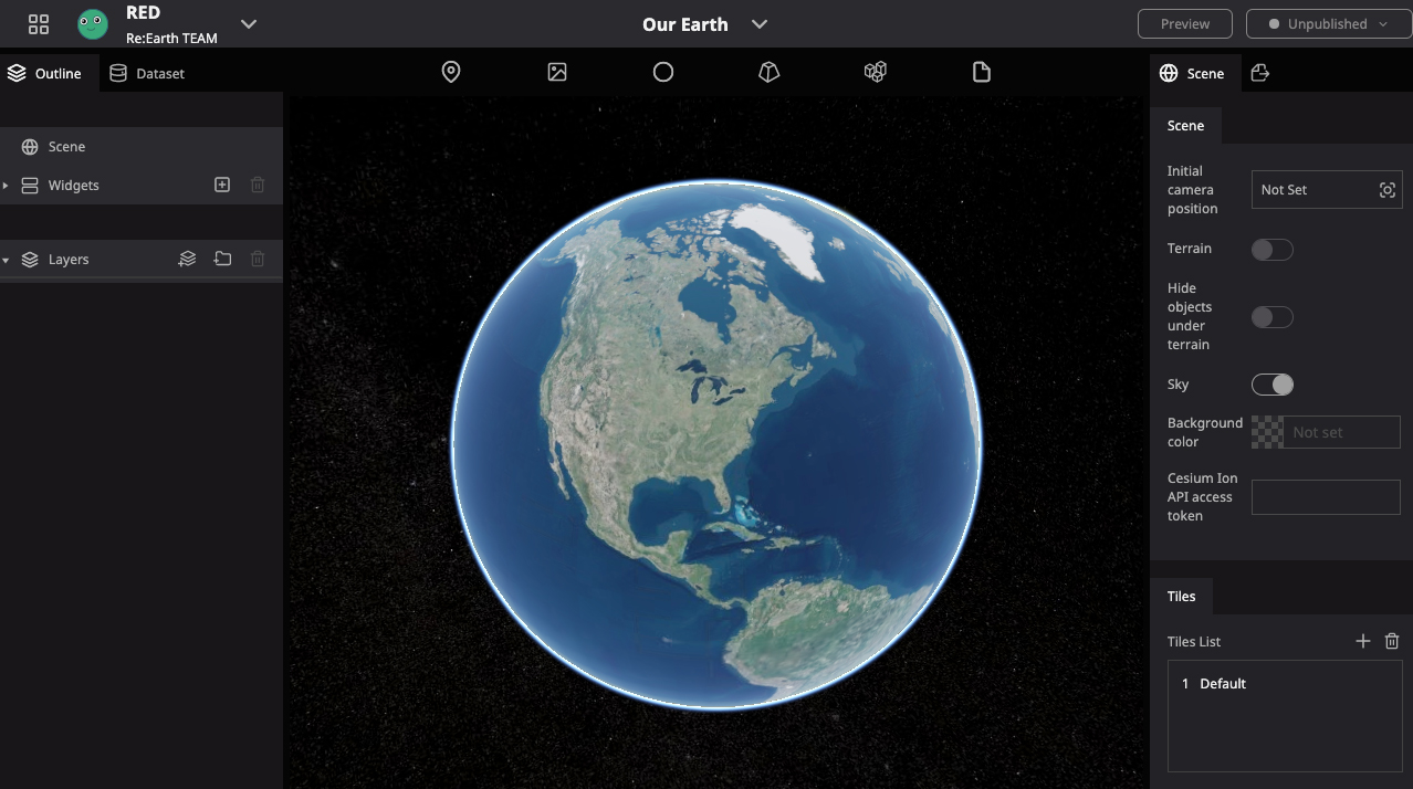
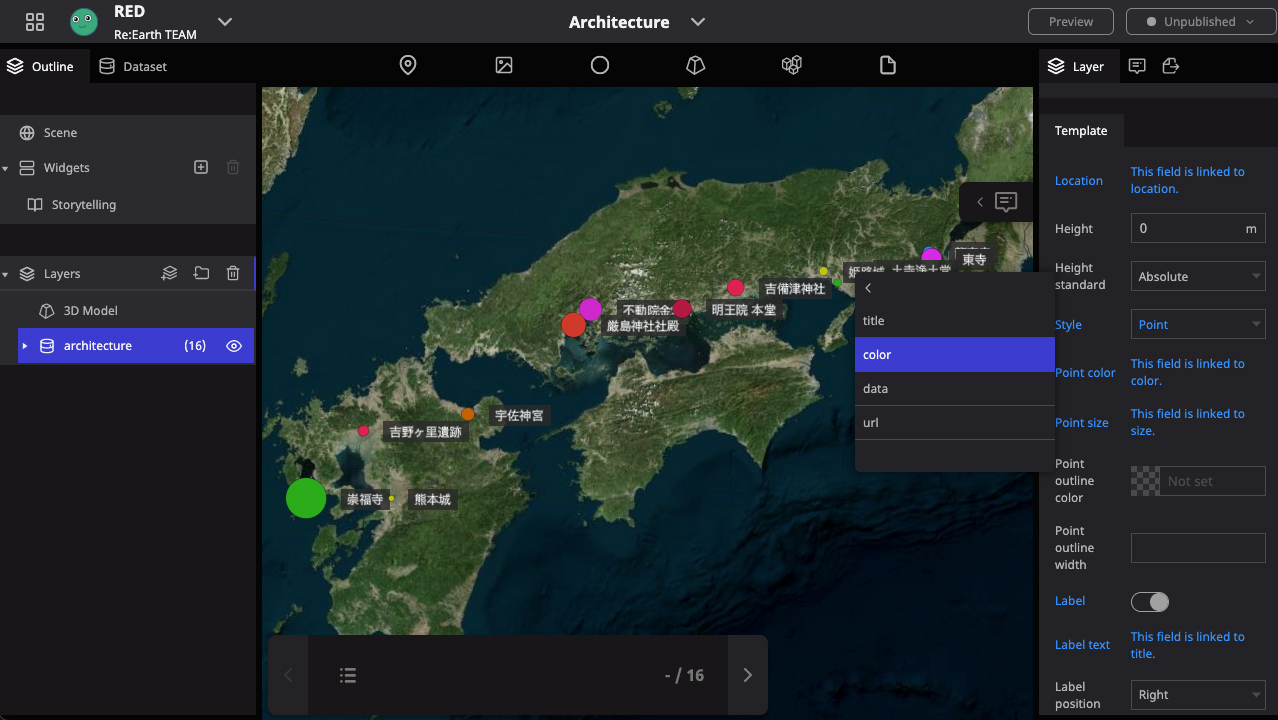
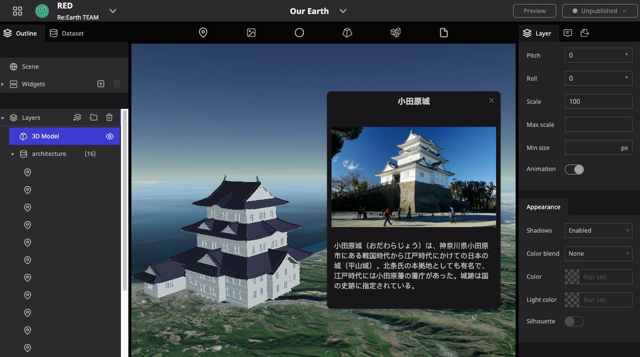
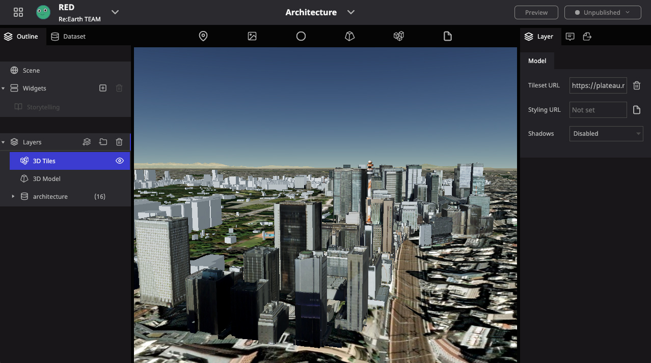
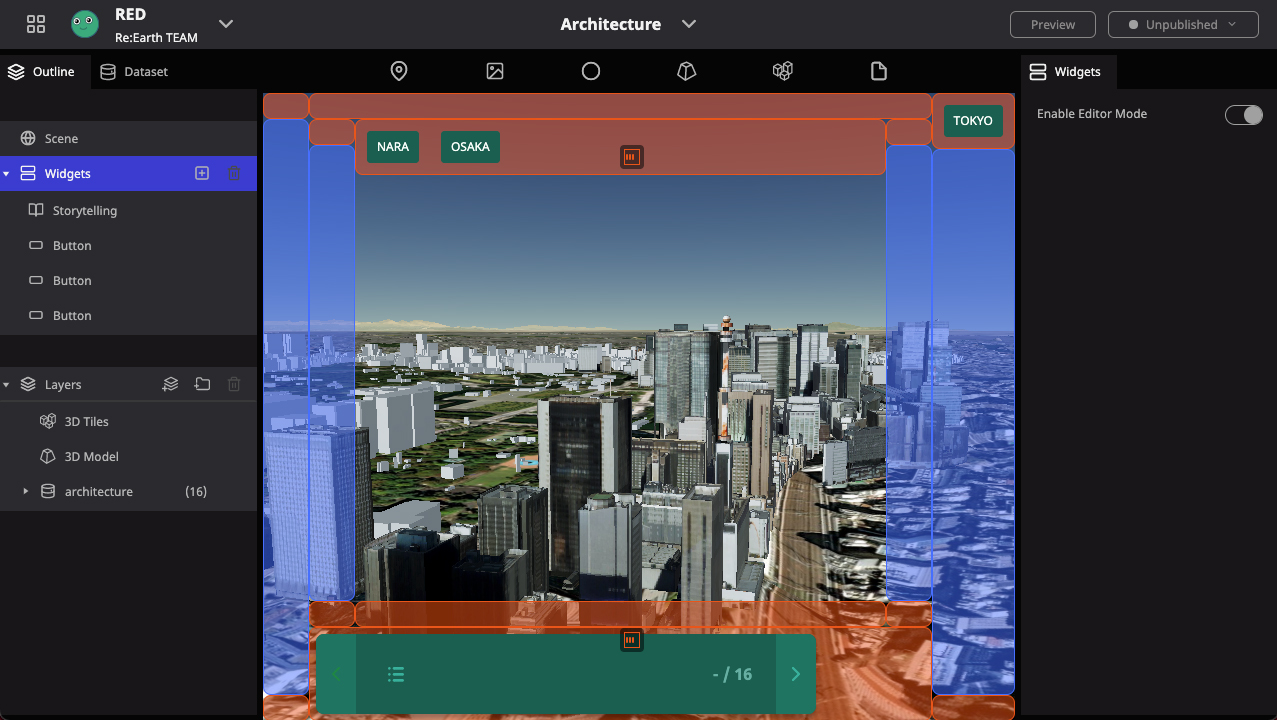
The world's first scalable OSS WebGIS platform. It allows anyone to easily create and publish 3D map representations, data visualizations, and digital archives without programming. It has a "storytelling function" that allows data to be viewed in a certain order, and a plug-in system that allows users to freely expand and develop additional features.
Kenya Tamura / Hiroki Inoue / Shinnosuke Komiya / Hidemichi Baba / Michi Okada / Xu Cong / ARISA MIKUMO / Kyle Waite / Maher Alhamoui / Sho Nakatani / Naoya Nishibayashi / Yasser / Mashiyat Zaman
In-house development
2020 ~